Environmental Justice During the COVID-19 Pandemic

The purpose of this challenge is to use remote-sensing data and satellite images to help form a better understanding of societal trends as affected by COVID-19. Your challenge is to discern how human activity in communities of minority, low-income, tribal, and indigenous populations have changed as a result of COVID-19.
Interface that can monitor human, animal activities taking place on satellite remote sensors.

Summary

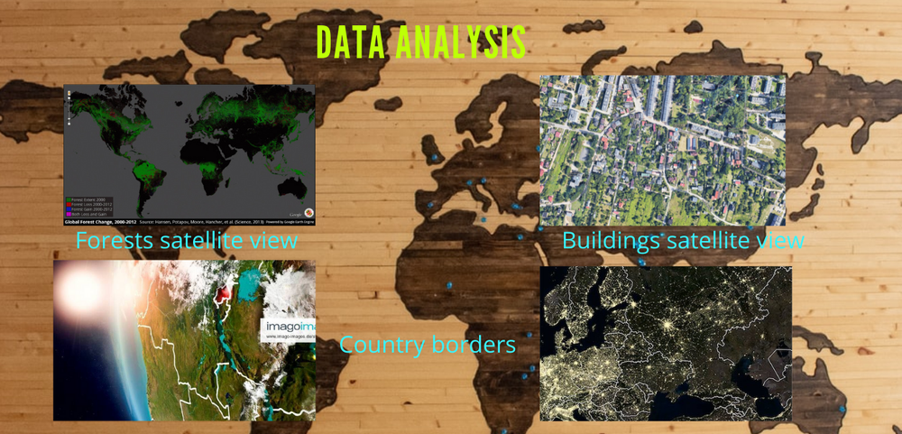
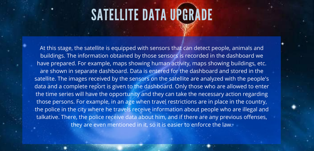
At this project, the satellite is equipped with sensors that can detect people, animals and buildings. The information obtained by those sensors is recorded in the dashboard we have prepared. For example, maps showing human activity, maps showing buildings, etc. are shown in separate dashboard. Data is entered for the dashboard and stored in the satellite. The images received by the sensors on the satellite are analyzed with the people's data and a complete report is given to the dashboard. Only those who are allowed to enter the dashboard will have the opportunity and they can take the necessary action regarding those persons.

How I Addressed This Challenge

Provides the opportunity to provide satellite data to the Department of Personel Registration and the country's security forces.

It can monitor all the activities of the people. Especially in the case of Covid 19, it is possible to find the violators of the health guidelines and enforce the law.

To do this, satellites need to create database systems and install sensors that can identify people, animals, buildings, borders, etc. separately. The data of the sensors received by the satellites is sent to the time series where the data in the database is utilized and analyzed. Travel restrictions can be more easily enforced to reduce the spread of Covid 19 disease. It also ensures the security of security personnel. In addition, this will prevent the occurrence of illegal activities and border violations.

We hope to this an age when travel restrictions are in place in the country, the police in the city where he travels receive information about people who are illegal and talkative. There, the police receive data about him, and if there are any previous offenses, they are even mentioned in it, so it is easier to enforce the law.


How I Developed This Project

Satellite remote sensors hope to create separate sensors that can identify people, property, buildings, etc., and to represent a database of data that can be represented on separate maps. This information is also used to successfully create a security system that does not fall into the hands of outsiders. Computer languages ​​Java, Python, C, C++ are used to encode the dashboard.

Remote sensors can be created using artificial intelligence. The security system works using languages ​​such as Java and Prolog. Obtaining information from tribal people is one of the major problems they face. But it can be done by appointing an agent to get their information. 

How I Used Space Agency Data in This Project

The demographic data you provide will help you determine how much sensor intensity should be increased during sensor design. It also provides a comprehensive understanding of the areas to be covered by the satellite. It is also important to formulate strategies for obtaining information from the public in areas where it takes a lot of time and in those areas to obtain data in the shortest possible time.

Project Demo

https://drive.google.com/file/d/1VDujwvKyNfbSv_jAx_-f13DH8xQ3iN3m/view?usp=sharing

Earth Observing Dashboard Integration

Data & Resources

https://www.canva.com/design/DAEiv9I2hPg/OQeQhQTWP4OO-uOoOaZAqA/view?website#4


file:///C:/Users/AAA/Downloads/sign%20(1).html


https://docs.google.com/forms/d/1NfMooJt9JApPZ_Y1-asm2AmmRlSLBBCM-PJIATUt8ic/edit?usp=drivesdk