Background
During socioeconomic disruptions such as the COVID-19 pandemic, individuals and governments are often concerned with the risk of disruptions in supply chains and logistics that could impact food security in a region or globally.
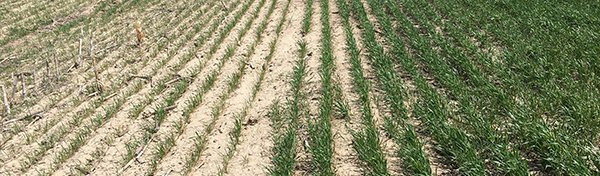
Space-based Earth observations and remotely sensed data can provide information about conditions on the ground that may affect food supply chains and food security. For example, the data can allow you to assess precipitation, soil moisture, land cover, water stress, changes in agricultural food production systems, water resource management, and other associated changes caused by the response to COVID-19.
Objectives
Your challenge is to demonstrate the agricultural socio-economic impacts from COVID-19, especially with regard to restriction of human movement in country and internationally.
How can you assess the impacts on agriculture production by using publicly available time series trend information, especially in the lower Mekong region for rice crops?
Potential Considerations
- You may (but are not required to) use publicly available rice planting and growing information from ESA/GeoRice and JAXA ALOS-2 with open mobility data (labor resource migration / movement) and agromet condition by JAXA JASMIN and GEOGLAM in combination with socio-economic data.